Pathfinder Newsletter – Spring 2024

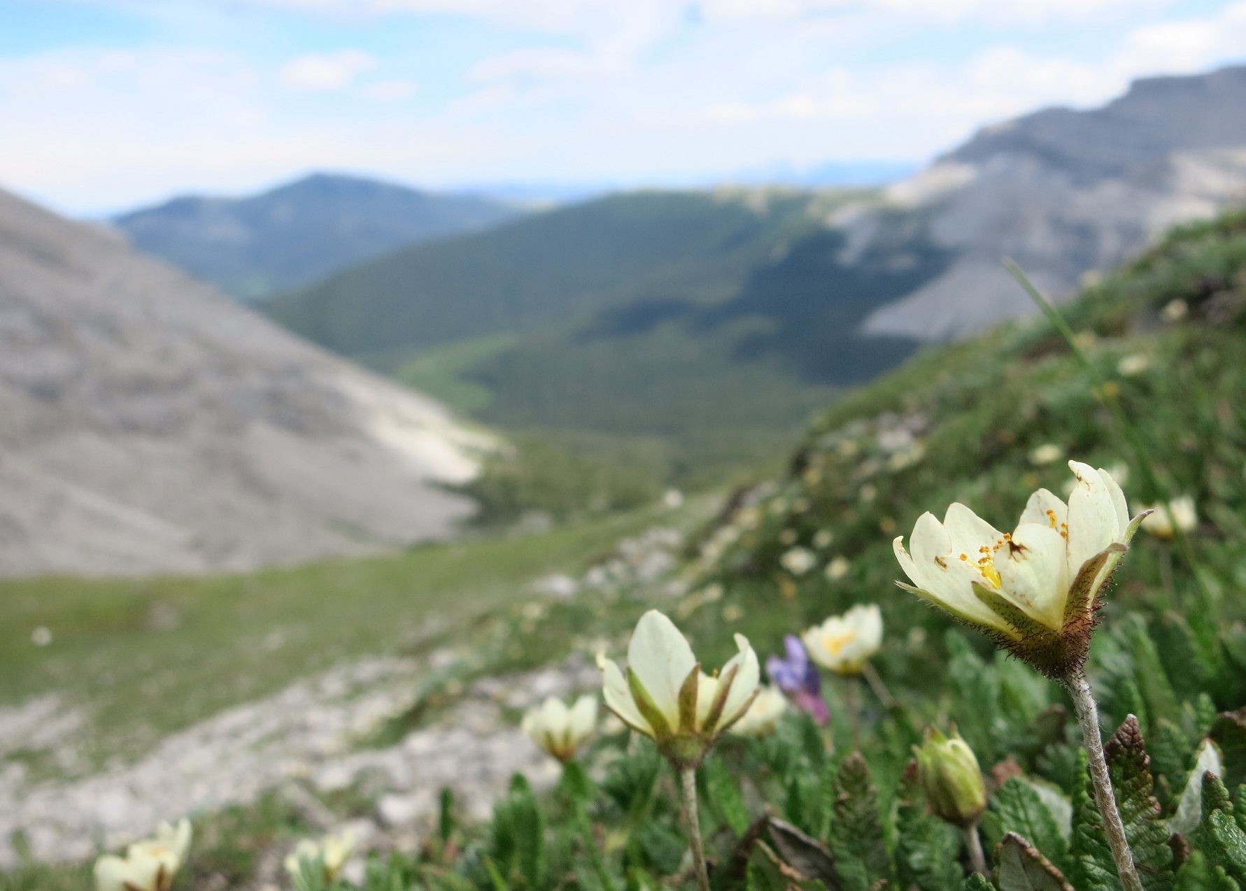
The Spring 2024 edition of the Great Divide Trail’s Pathfinder Newsletter is now available! This edition features information about the GDT Film Festival on April 11th, an article about spring flowers by Jenny Feick, a story about hiking into Field from Megan Paolini, and a soggy section D and E…