Effective immediately, the GDTA is announcing one change to the main route of the GDT as well as an update on the detour around the trail closures in Waterton Lakes National Park.
Waterton Detour – UPDATED July 5, 2019 (Section A) – Most trails in Waterton Lakes National Park have re-opened this year following the 2017 Kenow wildfire but portions of the GDT in the park remain closed. The GDT is closed from the Carthew-Alderson trailhead (a3) to the Summit Lake-Boundary Creek trail junction (a7), and from Lineham Ridge summit (a11) to Lone Lake (a14). The Mount Rowe-Sage Pass Alternate Route in Akamina-Kishinena Provincial Park is also closed.
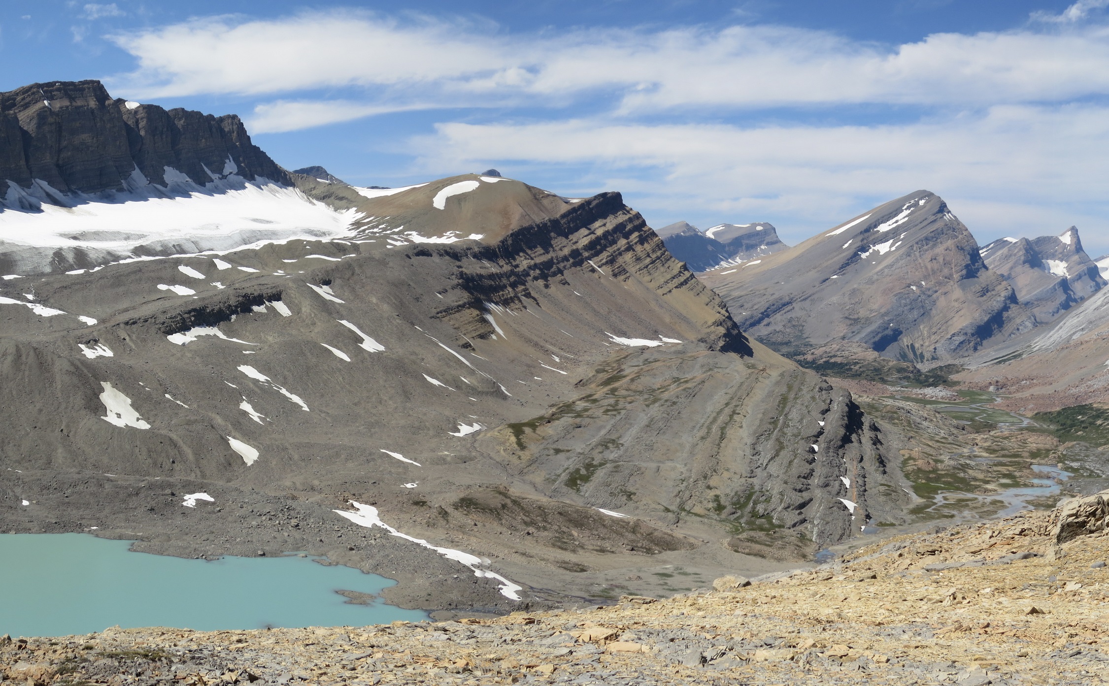
Waterton Lakeshore Trail is open allowing hikers to begin at the GDT Southern Terminus on the International Boundary. From Waterton Townsite, a detour can be followed to reconnect with the GDT near Sage Pass via the Red Rock Parkway and Blakiston Valley or Snowshoe Trails, a distance of 28 or 29.5 km depending on two route options.
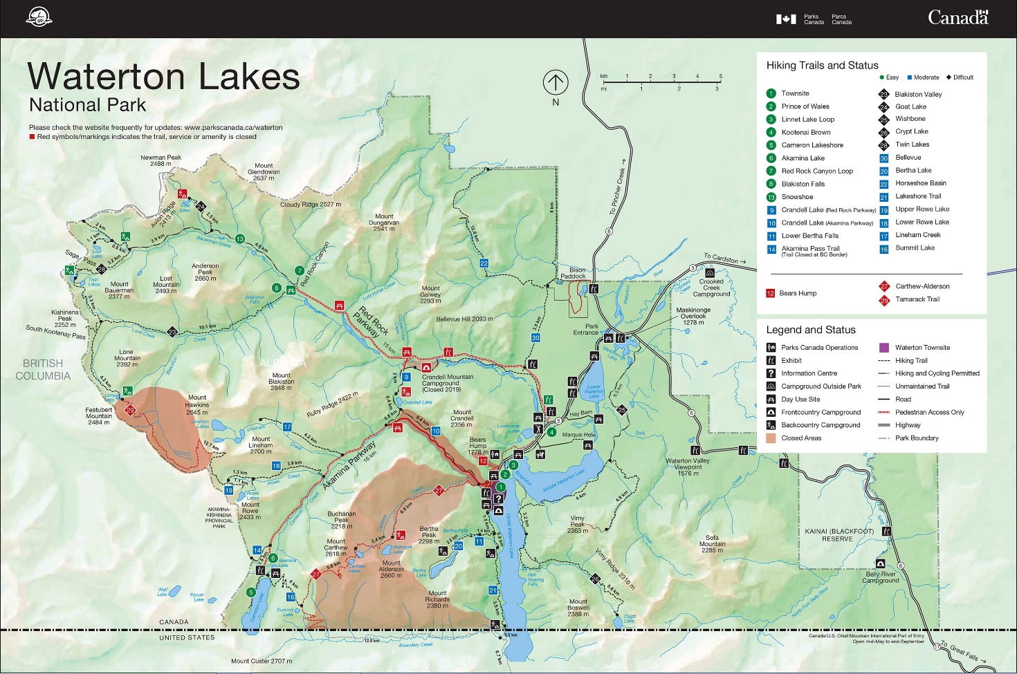
The detour begins at the Carthew-Alderson trailhead (a3) where hikers follow Evergreen Avenue through Waterton Townsite, about 3.5 km north to the Crandell Lake trailhead on the Red Rock Parkway not on the Akamina Parkway. The Crandell Lake Trail parallels the Red Rock Parkway for 7.5 km to Crandell Mountain campground (closed in 2019). Turn right (north) avoiding the bridge to the campground, leaving the trail to walk on the Red Rock Parkway (which is closed to vehicles but open to pedestrians) the remaining 7 km to reach the Red Rock Canyon trailhead.
From the Red Rock Canyon trailhead, there are two options to reach the GDT:
- Blakiston Valley Trail – 10 km on good trail, reaching the GDT below South Kootenay Pass, 4.3 km south of Sage Pass.
- Snowshoe Trail – 11.5 km on good trail, reaching the GDT at the Sage Pass trail junction (a16), 1.3 km from Sage Pass. Stay left at junctions with Goat Lake and Lost Lake trails at 4.6 km and 8.5 km respectively.
Howse Floodplain Route (Section D) – Descending the north side of Howse Pass, the main route of the GDT now follows the Conway Creek and Howse River floodplains wherever possible, without crossing the main channel of the Howse River. The floodplain is wide and exceptionally scenic, offering a route quite similar to that of the original travellers to Howse Pass centuries ago. There are several shallow fords of smaller channels on the floodplain so hikers must be prepared to have wet feet while enjoying a significantly better hiking experience than the old overgrown trail strewn with hundreds of fallen trees. In June and early July, the Howse River may be in flood making some sections of the floodplain difficult or impassable in which case hikers should consider using the old trail (now marked as an alternate route). Conversely, in late August and September when the river is low, hikers may be able to ford the main river channel and completely avoid any bushwhacking along the river’s edge. See here for a more detailed route description.