Trail Conditions Update – June 29, 2016
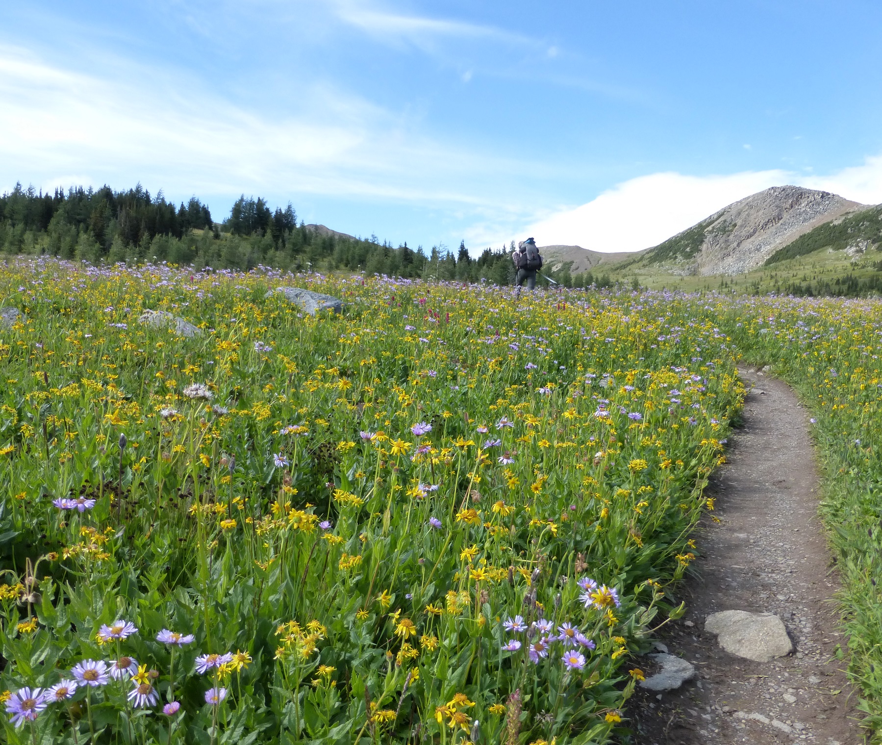
Wildflowers are blooming! Most of the snow from the freak snowstorm last week has melted and trails are mostly bare and dry with patches of snow lingering at higher elevations. Warm daytime temperatures means the snow is melting quickly and creating muddy and slippery conditions.
WATERTON HIKER SHUTTLE SERVICE: Due to the construction at Cameron Lake Day-Use Area from April to November 2016, the Cameron Lake Day-Use Area and Akamina Parkway are closed to all traffic – including pedestrians and cyclists. GDT Hikers are not allowed to walk on the Akamina Parkway during construction, however Parks Canada is providing a complimentary shuttle service for hikers to safely access trailheads for the duration of the work. The shuttle departs from Cameron Lake at the Summit Lake/Carthew-Alderson trailhead daily at 8:15am, 9:15am, 11:15am, 2:15pm, 4:00pm and 6:00pm. From Cameron Lake to Waterton townsite, shuttle stops include Akamina Pass, Rowe/Tamarack, Lineham, and Crandell Lake trailheads. Hikers are advised to be at the trailhead pickup locations 10 minutes prior to the scheduled departure time.
TICKS: It’s tick season so be extra careful when in areas with a lot of underbrush and check yourself and your clothing after your hike.
BEAR WARNING: Jasper National Park – Two grizzly bears are frequenting the area between Nigel Pass and Maligne Pass. The bears have broken into cabins along the South Boundary trail to access horse feed. While they are no longer appearing at the cabins and have not shown aggression to people, they may return to the area. Pay extra attention when hiking in the area, make noise, and carry bear spray.
WILDFIRE UPDATE: Currently there are no campfire bans on the GDT, but due to warm and dry conditions a fire advisory is in effect from Sage Pass to Peter Loughheed Provincial Park. Small campfires are allowed but if you must have a campfire in the backcountry, ensure you follow the rules.
TRAIL CLOSURES:
- Jasper National Park – Trail #7 is closed to hikers at the junction with Trail #7e to the junction with Trail #7a due to grizzly and black bears frequenting the area. Detour is available by taking Trail #7e to Mildred Lake where you can follow the east side of Beauvert Lake on Trail #7b or the Athabasca River trail to reach the Old Fort Point bridge (e34).
- Elk Lakes Provincial Park – Elk Lakes Trail to Upper Elk Lake is closed beyond the Lower Elk Lake campground during construction of a new bridge over the Elk River. Detour to West Elk Pass by taking the Elkan Creek trail from the parking lot trailhead. Lower Elk Lake campground is still open and accessible but hikers are asked to exercise caution in this area during construction.
TRAIL NOTICES:
- The trail from Sage Pass (a17) to Scarpe Pass (a24) was cleared and blazed in August 2014 and is in good shape. From Scarpe Pass, the trail disappears up to La Coulotte Ridge and the hiking becomes significantly more difficult until you reach the ATV track (a27) heading down to the West Castle Road.
- The Aldridge Creek Trail between Fording River Pass (b31) and the Kananaskis Power Line Road (b32) was cleared and restored in July 2015, but we have received reports of a small landslide covering the trail near the first ford of Aldridge Creek.
- Cairnes Creek (d9): The bridge is washed out making this a potentially dangerous ford. It is recommended to cross early in the morning when glacial melt is lowest.
- The damaged Lambe Creek bridge (d10) was removed in September 2015. It is recommended to ford the creek further downstream.
- The Howse Pass Trail from Conway Creek (d12) to the Glacier Lake trail junction (d14, 15 km) is in very poor condition. The trail is overgrown, with hundreds of wind-fallen trees across the trail. Hiking in the Howse River floodplain is a viable alternative if the Howse River is low enough to ford.
- The Owen Creek Trail was cleared in July 2015 up to km 6. Beyond that point, the trail is in poor shape with several washed out sections. Expect challenging hiking for 3 km including skirting along steep creek-side cliffs and rock-hopping in the creek itself. At km 6, do not take the trail heading up away from the creek (it is a deadend). Look for orange blazes marking the correct route staying near the creek.
- The Maligne Pass trail in Jasper National Park has been decommissioned and is in poor shape. The trail from Pobokton Creek (e20) to Maligne Lake (e25, approx 42 km) is no longer being maintained by Parks Canada so expect deteriorating and overgrown trail conditions; long pants are recommended. The Maligne River bridge has been removed but the river can be easily forded in normal summer conditions (knee deep in mid-summer). Most other bridges are still in place. Read Nathan Dahl’s August 30, 2015 Maligne Pass trail update here.
- The Yates Torrent Bridge is out at the crossing of the Coleman Glacier outflow (near f16). Do not attempt to cross at the old bridge location. Instead, ford the Smoky River further down the valley. Attempt to cross early in the morning when glacial melt is the lowest or be prepared for a fast and potentially dangerous creek ford.
- The bridges across Gendarme and Carcajou Creeks are out on the Jasper North Boundary Trail. These two creeks are smaller than the Smoky River, but can still be treacherous. Cross Gendarme at the horse crossing just below the old bridge (marked), and Carcajou about 100m below the trail.
- The bridge across Buchanan Creek, near the Kakwa Lake trailhead, has been removed. The crossing here can be hazardous early in the year or after heavy rains. In 2015, a gravel bar about 50 metres across the creek upstream provided the best crossing. The 10 km of road from Buchanan Creek to Bastille Creek is closed to vehicles as it is no longer driveable due to washouts so be prepared to walk this distance on foot.
ACCESS TRAILS:
- Kootenay National Park – Numa Creek Trail remains closed due to a washed out bridge.
- Kootenay National Park – Be advised that the suspension bridge at the 12-km mark on the Helmet Creek trail has been removed until further notice. The creek can still be forded or crossed on a log upstream of the bridge location.
ACCESS ROADS:
- Due to the construction at Cameron Lake Day-Use Area from April to November 2016, the Cameron Lake Day-Use Area and Akamina Parkway are closed to all traffic – including pedestrians and cyclists. Parks Canada is providing a complimentary shuttle service for hikers to safely access trailheads for the duration of the work. Shuttle stops include Cameron Lake/Carthew-Alderson, Akamina Pass, Rowe/Tamarack, Lineham, Crandell Lake trailheads. Note that some trailheads along the parkway may be temporarily closed for reconfiguration and then reopened sequentially as work is completed throughout the summer. For more information and updates, check out Parks Canada’s website.
- Access to the northern terminus of the GDT in Kakwa Provincial Park is via the Walker Creek Forest Service Road. The Walker Creek FSR has been repaired from Highway 16 to km 33.5. While travelling the remaining 40 kilometres on the Walker Creek FSR, attention is required to navigate the surface as it is uneven, rutted and slippery. The road is not recommended for anything other than a 4×4 high clearance vehicle. The last 10 km from Bastille Creek to Buchanan Creek is closed due to washouts and is not driveable by vehicle so be prepared to walk this distance on foot.